-40%
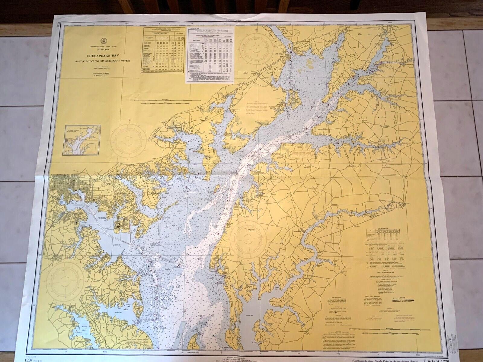
Nautical Chart 550-SC 1970 Chesapeake Bay Eastern Bay South River Dept of Commer
$ 8.44
- Description
- Size Guide
Description
Vintage Nautical Chart 550-SCChesapeake Bay
Eastern Bay and South River Maryland
U.S. Department of Commerce
Seventh Edition January 1970
Approx Dimensions of Map:
51" Length
36" Width
Approx Dimensions of Cover Sleeve:
18 1/2" Length
7 3/4" Width
Chart protected in a Paper Cover Sleeve
Sleeve Shows Signs of Use/Wear With Some Staining
Chart & Sleeve Yellowed with Age
Folded Paper Chart Stored in Sleeve
Chart is Clean & Colors are Bright
Some Thinning and 3 Small Holes on Crease Folds (see Photos 11 &12)
See all Photos for Condition Description
Smoke and Pet Free Home
No International Shipping


