-40%
Lot 11 RI CT NY NOAA Nautical Navigational Maps Charts circa 1970s to 1980s
$ 39.59
- Description
- Size Guide
Description
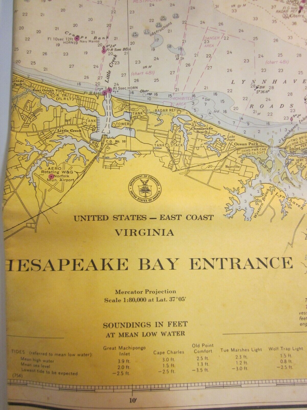
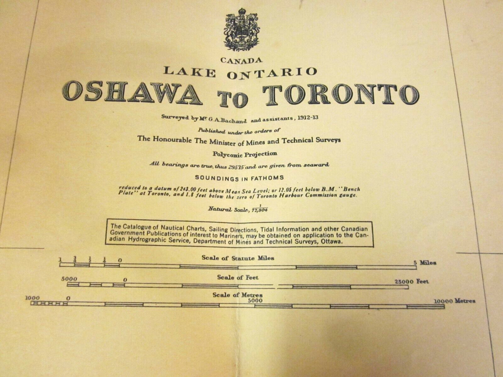
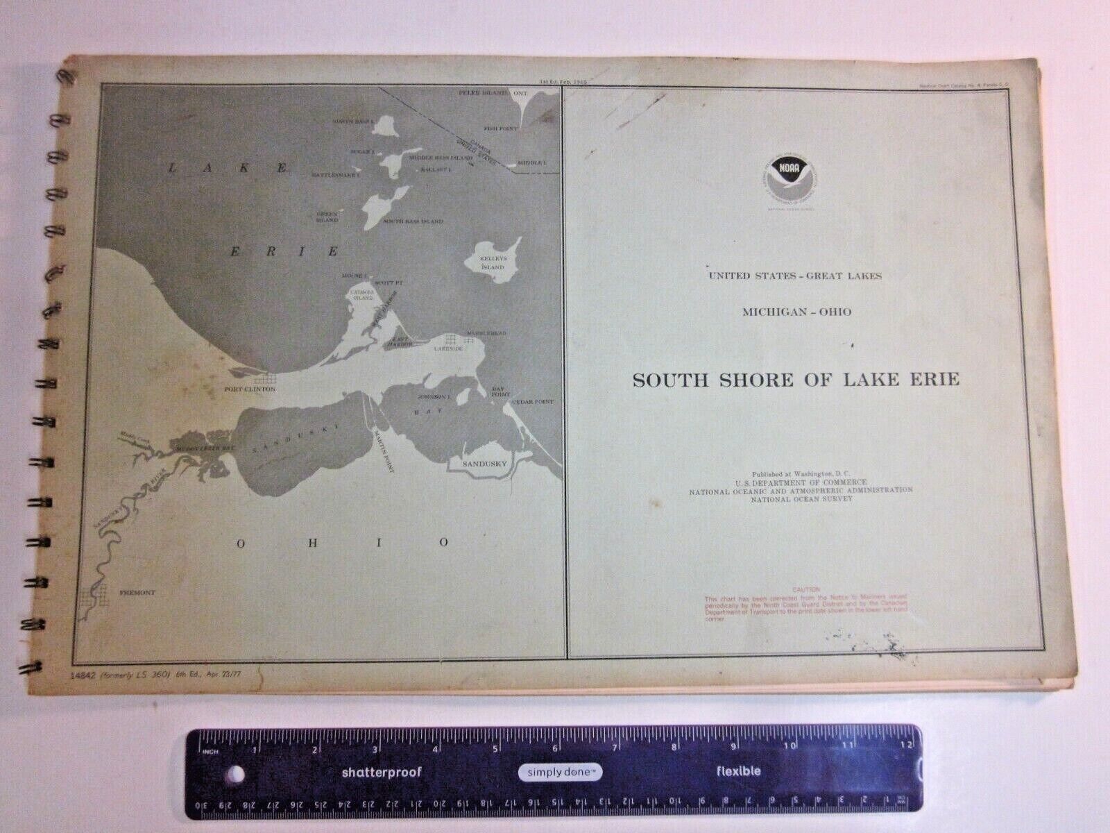
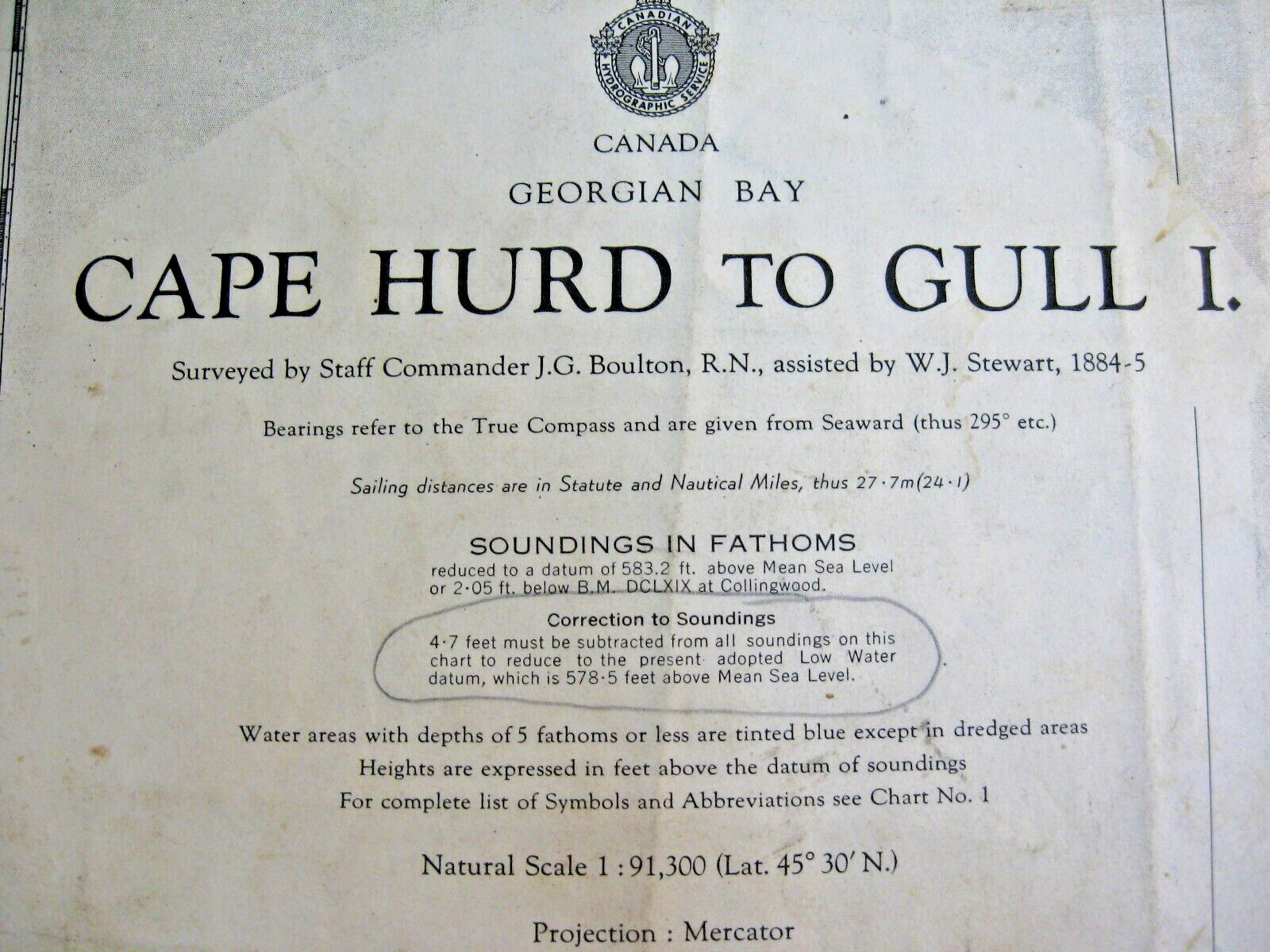
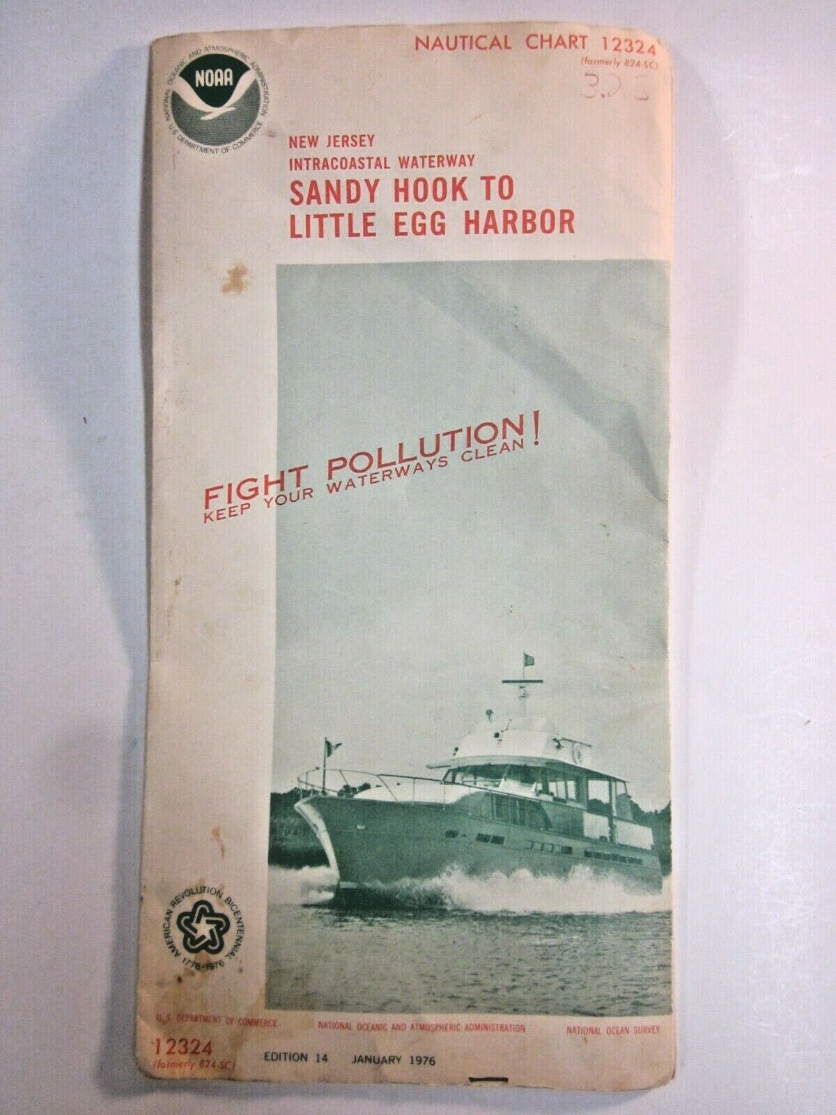
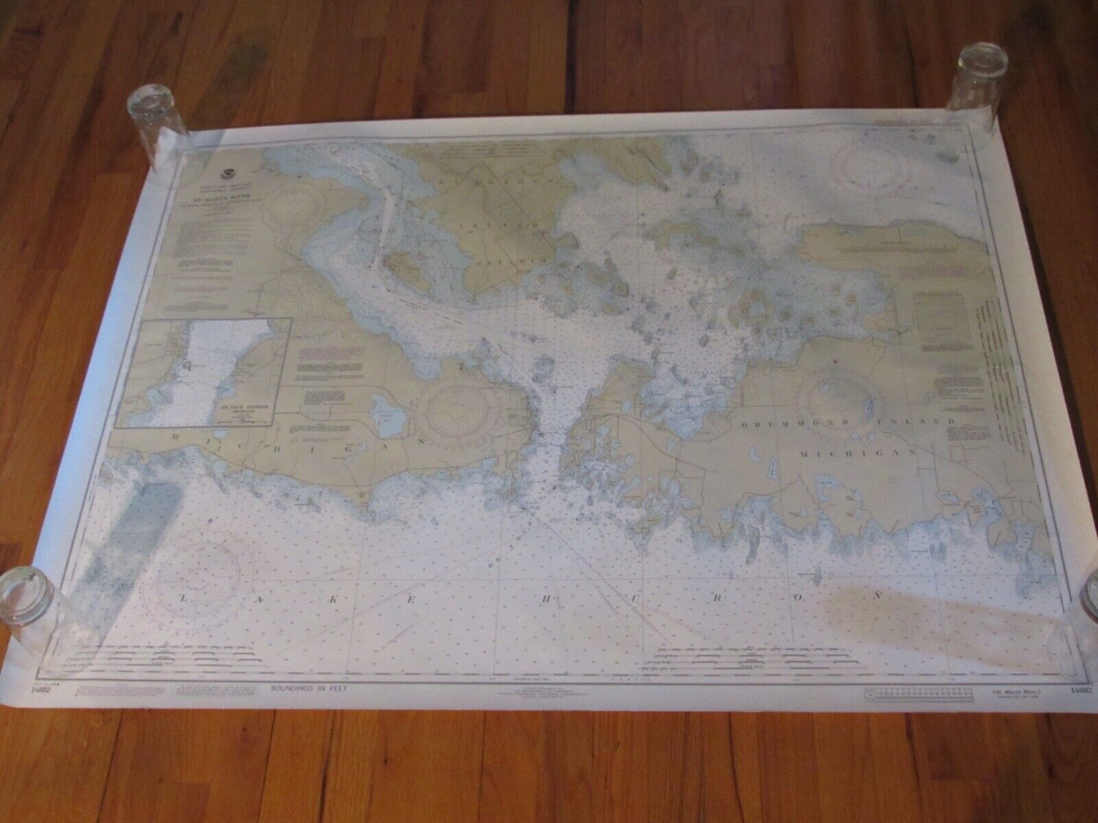
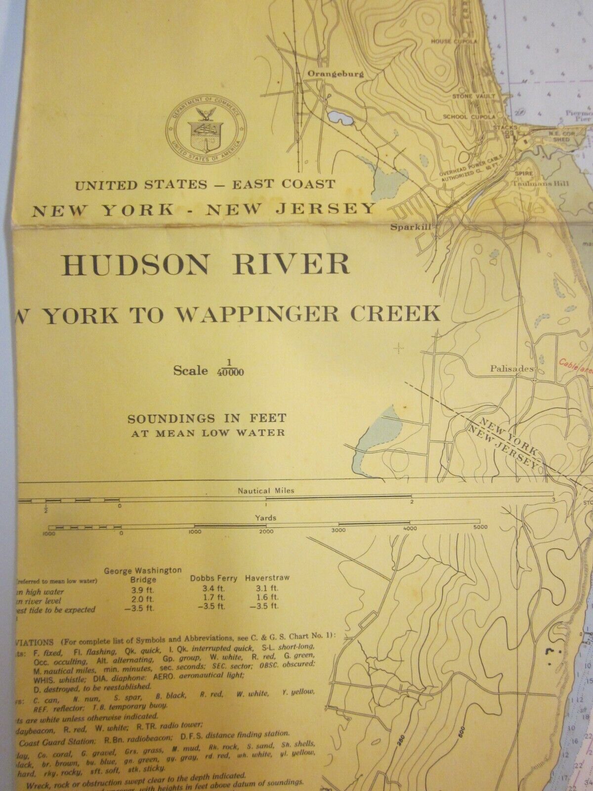
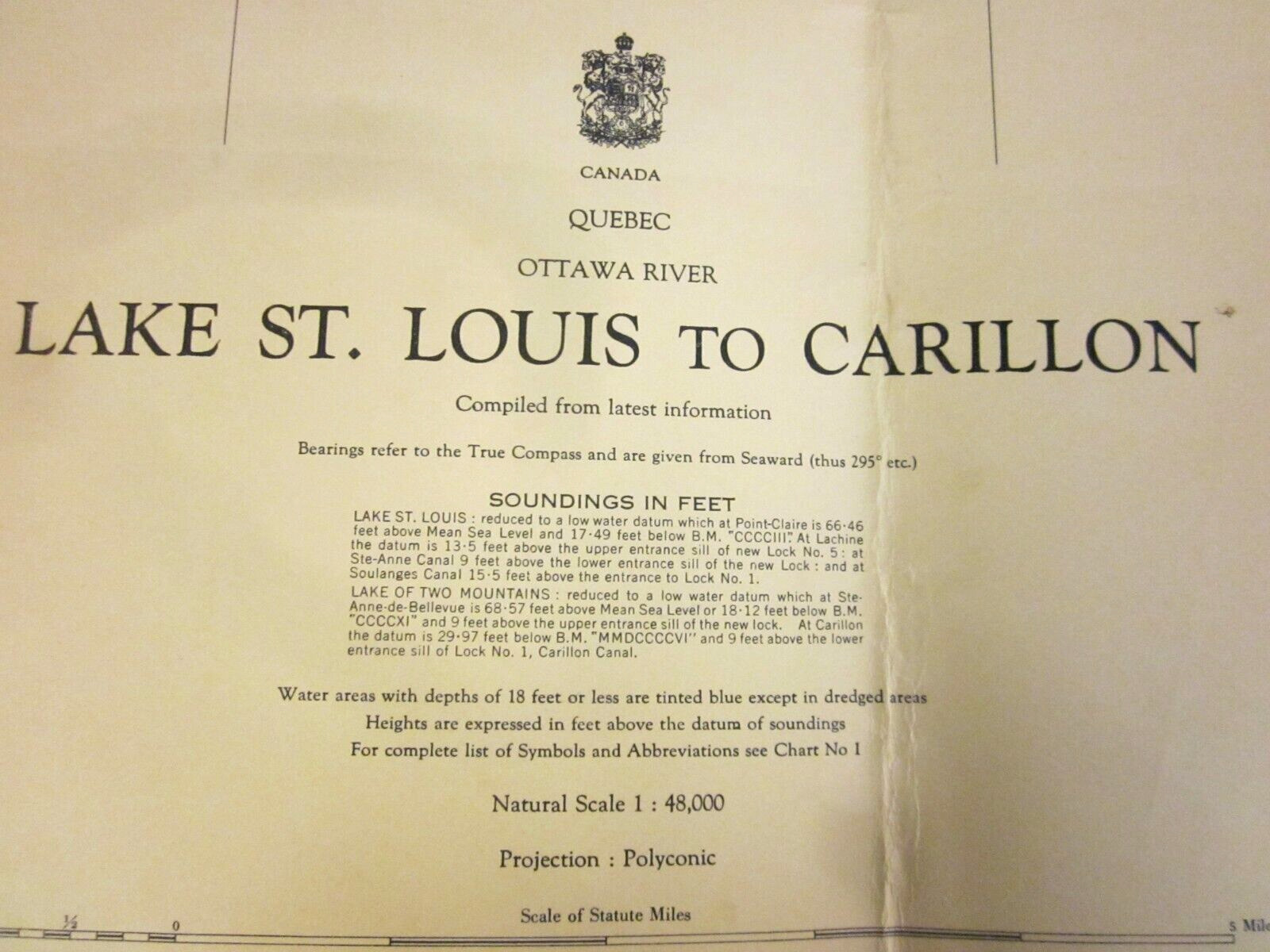
This is a mixed lot of nautical navigational charts.Here are the details:
State(s): New York, Connecticut, and Rhode Island
Specific charts:
13003, Cape Sable to Cape Hatteras (Canada to NC), 1979
13201, Georges Bank and Nantucket Shoals, 1983
13205, Block Island Sound and Approaches, 1981
13207, Block Island Sound and Approaches, 1978
13209 (5), Block Island Sound and Gardiners Bay, 1979 (2) and 1982 (3)
13213, New London Harbor and Vicinity, 1979
13215, Block Island Sound, Point Judith to Montauk Point, 1980
Condition: Varying degrees of wear and writing on each chart. Some minor tears are possible.
If you are looking for nautical charts for display or crafts, this is for you. Don't let this find get away.
Attention Sellers - Get Templates
Image Hosting, Scheduling at Auctiva.com.
Track Page Views With
Auctiva's FREE Counter


