-40%
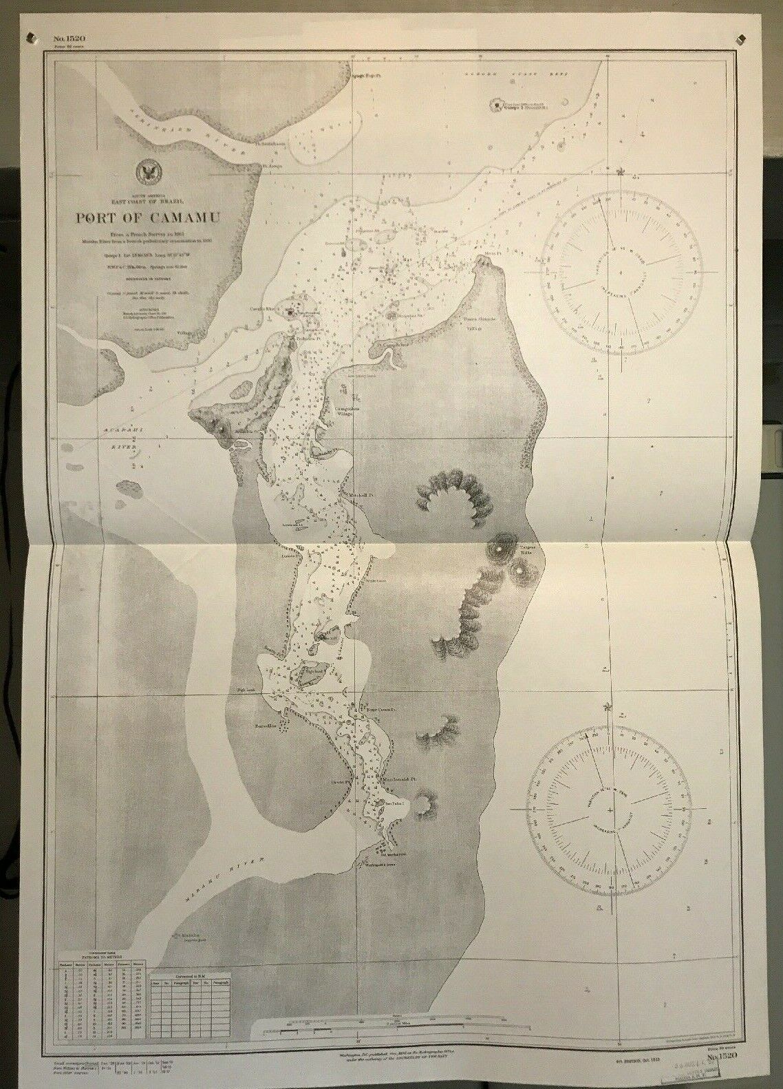
Brazil East Coast, South America Navigational Chart / Hydrographic Map # 1520
$ 21.12
- Description
- Size Guide
Description
Genuine and Original Hydrographic Map / Nautical Chart:Map #: 1520
Year: 1957
Country / Continent / Region: South America - Brazil
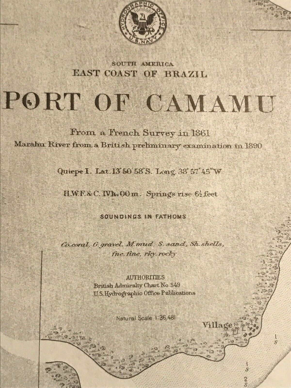
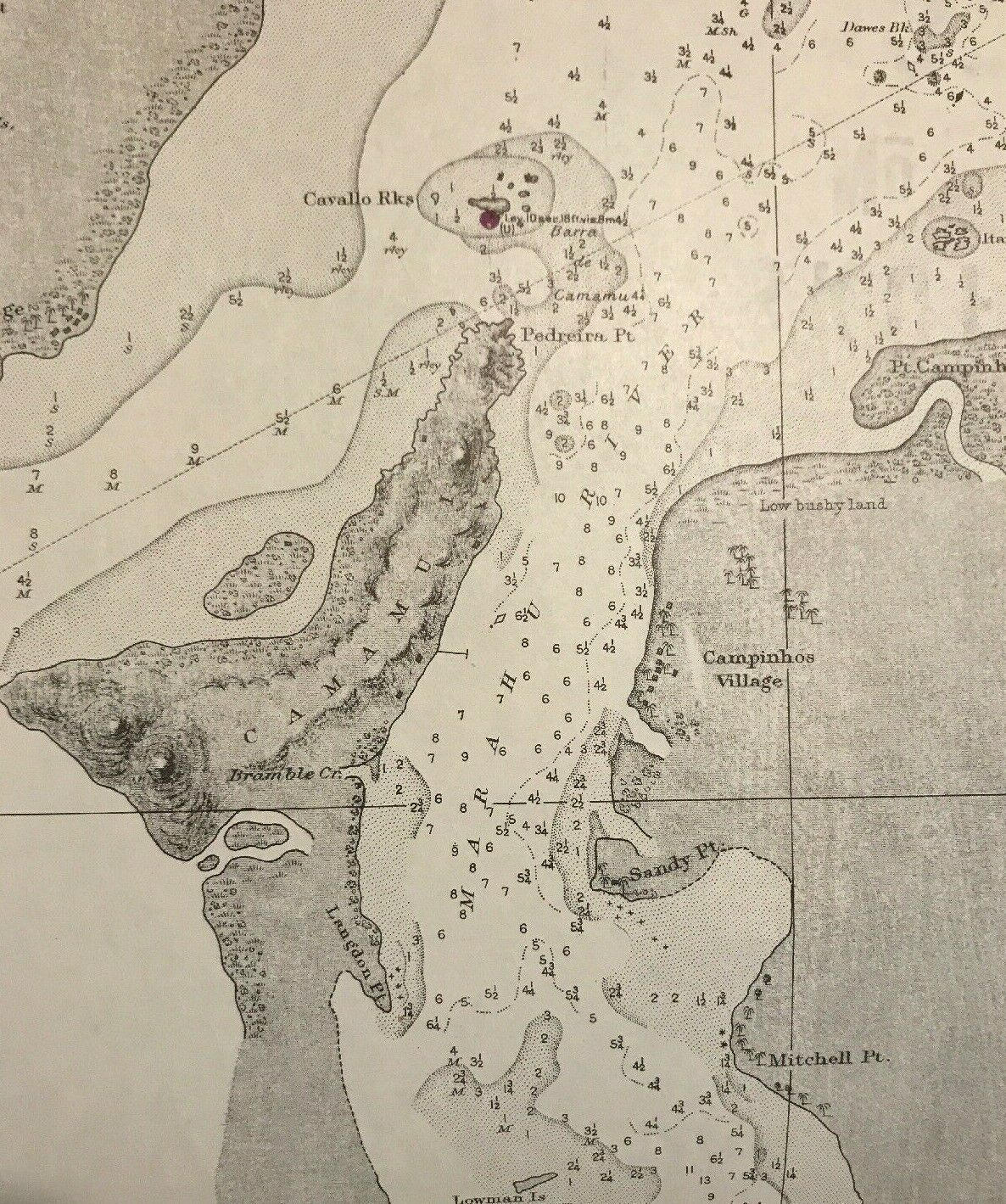
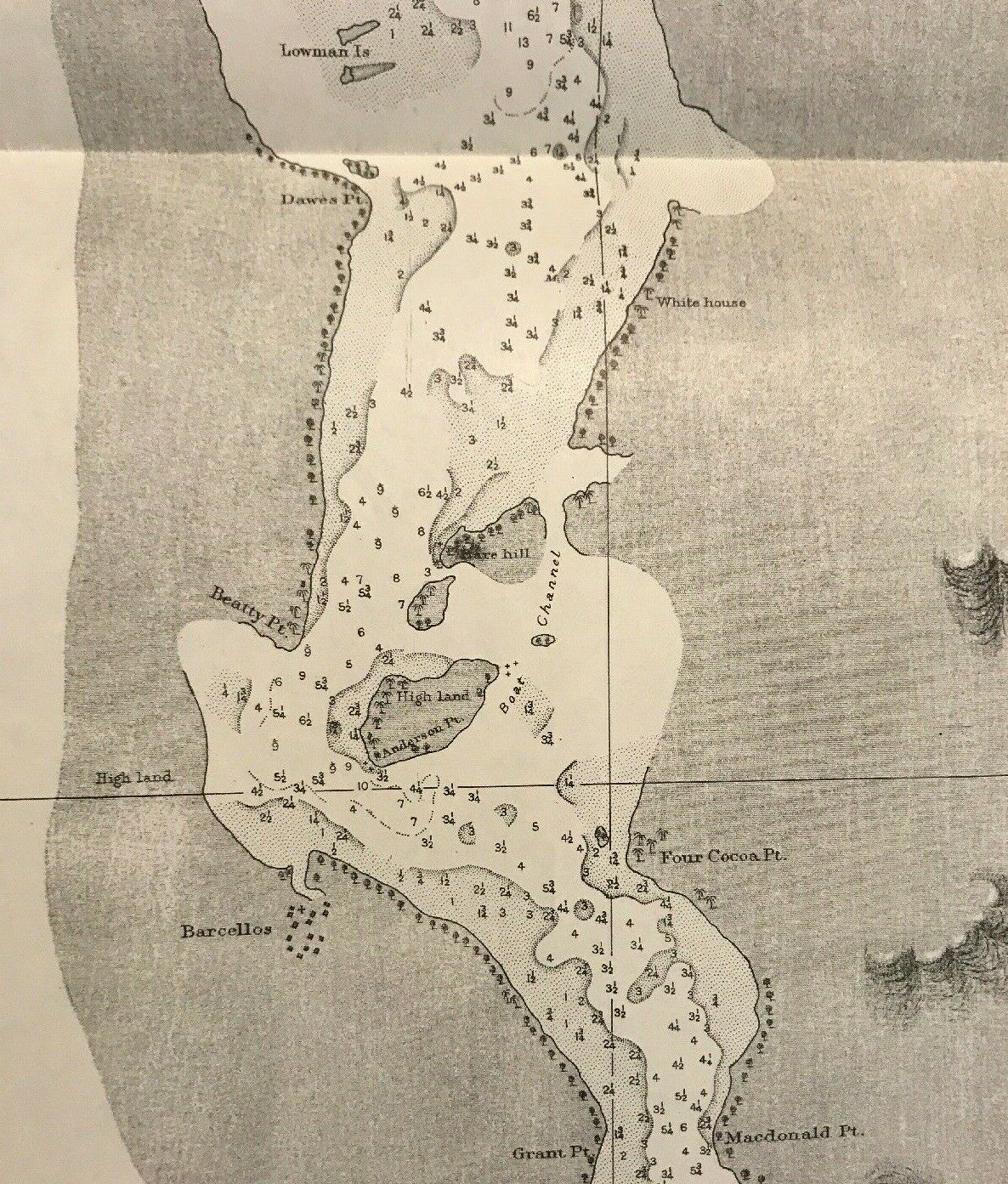
General Geographic Description: East Coast Brazil, Port of Camamu, Marahu & Acarahi Rivers
RF Scale: 1 : 36,481
Width X Height (in inches): 23" x 33"
Hydrographic Office: Washington DC
General Notes: Thinner stock than most vintage hydrographic maps, approx 1.5 inch tear, top right of map.
General Note about the vintage Hydrography maps / nautical charts in our virtual store:
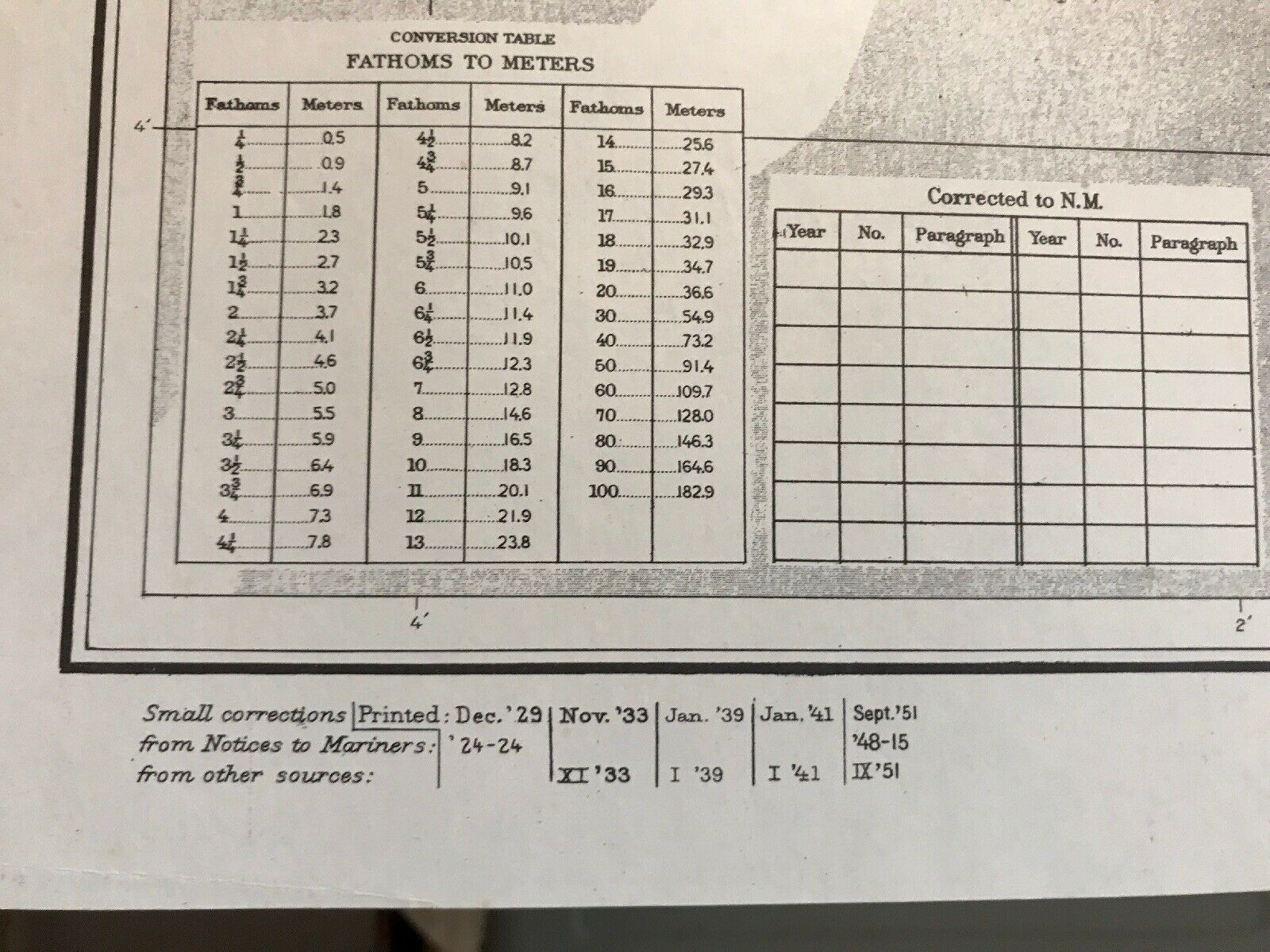
These original maps are from a private collection. They were generally well cared for. They are clean and dry with no signs of water damage. With that being said, these are old maps (50-90 years old) and are not without some small points of damage including folds, stains, marks, holes and tears. We do our best to disclose any damage through the photos we provide and the item description above. These are real, original and authentic maps. It is common for them to contain various markings, such as writing implements marks and stamped symbols/words. This adds to the uniqueness and charm of each map. Most of the maps in this collection are thick paper stock. Aboard ship these maps were stored folded flat, in large drawers. Most of the maps have at least one fold line on them, visible in the pictures. When we package the map for you, it will be unfolded to a flat map and then rolled into a hard, thick cardboard tube for shipment. Free Domestic USPS Insured Shipping, delivered fast, trackable and free!
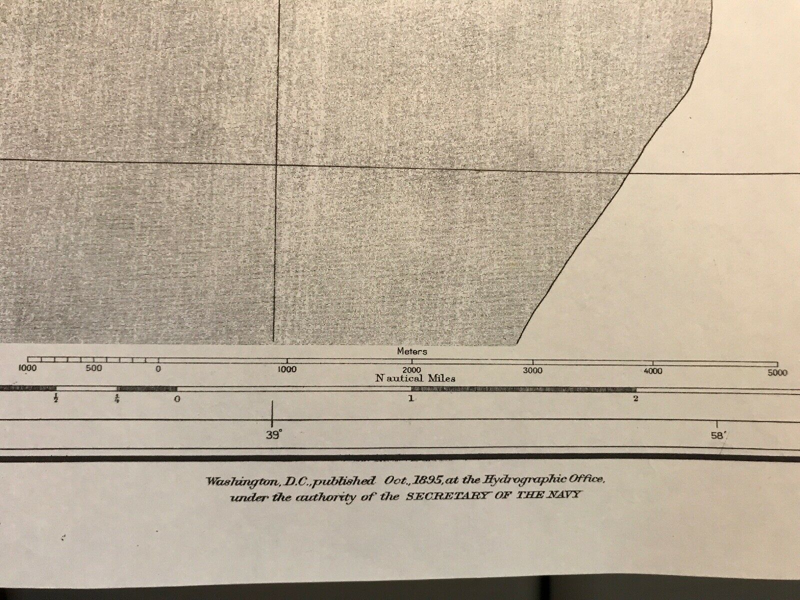
Scale:
These maps use the scale of representative fraction (RF), or ratio scale. It is the most abstract, but also the most versatile scale. RF shows the relationship between one of any unit on the map and the same unit on the ground. The fraction can be applied to any units of measure - miles, kilometers, etc.
General Information about Nautical Charts and Hydrography:
A nautical chart is a graphic representation of a sea area and adjacent coastal regions. Nautical charts are essential tools for marine navigation and are based on hydrographic surveys. Nautical charts are issued by power of the national hydrographic offices in many countries. These charts are considered "official" in contrast to those made by commercial publishers. Hydrography is the branch of applied sciences which deals with the measurement and description of the physical features of oceans, seas, coastal areas, lakes and rivers. The primary purpose is safety of navigation, as well as support of other marine activities including security and defense. The origins of hydrography lay in the making of charts to aid navigation, by individual mariners as they navigated into new waters. These were usually private property of individuals who used them for commercial or military advantage. As transoceanic trade and exploration increased, the commissioning of surveys was increasingly done by governments and special hydrographic offices. National organizations, particularly Navies, realized that the collection, systematization and distribution of this knowledge gave it great organizational and military advantages. Thus were born dedicated national hydrographic organizations for the collection, organization, publication and distribution of nautical charts. The United Kingdom Hydrographic Office is one of the oldest, supplying a wide range of charts covering the globe to other countries, allied military organizations and the public. In the United States, the hydrographic charting function has been carried out since 1807 by the Office of Coast Survey of the National Oceanic and Atmospheric Administration within the U.S. Department of Commerce.
